
PolSAR tools: A QGIS plugin for generating SAR descriptors
PolSAR tools: A QGIS plugin for generating SAR descriptors - Published in JOSS (2021)

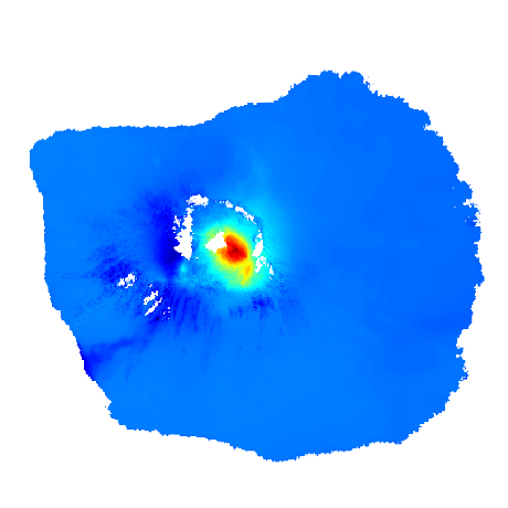
findpeaks
The detection of peaks and valleys in a 1d-vector or 2d-array (image)

faninsar
A fancy InSAR time series library, in a Pythonic, fast, and flexible way.


eoreader
Remote-sensing opensource python library reading optical and SAR sensors, loading and stacking bands, clouds, DEM and spectral indices in a sensor-agnostic way.

PolSAR tools
PolSAR tools: A QGIS plugin for generating SAR descriptors - Published in JOSS (2021)

sar_snowmelt_timing
This repository contains notebooks and tools to identify snowmelt timing using time series analysis of backscatter of Sentinel-1 C-band SAR.


xarray-sentinel
Xarray backend to Copernicus Sentinel-1 satellite data products

https://github.com/cryotools/osaris
Scripts to facilitate parallel InSAR processing and analysis of Sentinel-1 time series on HPC clusters based on GMTSAR and Slurm.

nd
Framework for the analysis of n-dimensional, multivariate Earth Observation data

https://github.com/alexeypechnikov/s1orbits
Well-structured and up-to-date Sentinel-1 RESORB and POEORB orbit data for InSAR processing

https://github.com/aalling93/deep-quantile-regression-synthetic-aperture-radar-ship-size
Deep Quantile Regression Synthetic Aperture Radar Ship Size

sentinel-1-soil-moisture
Estimate field-scale soil moisture from Sentinel-1 SAR data using GEE, R, and QGIS over rainfed agriculture pratices.