
xclim
xclim: xarray-based climate data analytics - Published in JOSS (2023)

Linopy
Linopy: Linear optimization with n-dimensional labeled variables - Published in JOSS (2023)

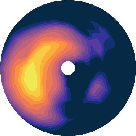
scores
scores: A Python package for verifying and evaluating models and predictions with xarray - Published in JOSS (2024)

xagg
xagg: A Python package to aggregate gridded data onto polygons - Published in JOSS (2024)


dantro
dantro: a Python package for handling, transforming, and visualizing hierarchically structured data - Published in JOSS (2020)

xCDAT
xCDAT: A Python Package for Simple and Robust Analysis of Climate Data - Published in JOSS (2024)

pyomeca
pyomeca: An Open-Source Framework for Biomechanical Analysis - Published in JOSS (2020)

TopoPyScale
TopoPyScale: A Python Package for Hillslope Climate Downscaling - Published in JOSS (2023)

Synthia
Synthia: multidimensional synthetic data generation in Python - Published in JOSS (2021)

herbie-data
Download numerical weather prediction datasets (HRRR, RAP, GFS, IFS, etc.) from NOMADS, NODD partners (Amazon, Google, Microsoft), ECMWF open data, and the University of Utah Pando Archive System.


climpred
climpred: Verification of weather and climate forecasts - Published in JOSS (2021)


gpm-api
A python package to download and analyze the Global Precipitation Measurement Mission (GPM) data archive


xnemogcm
Interface to open NEMO global circulation model output dataset with xarray and create a xgcm grid.


is2view
Interactive visualization and data extraction tool for ICESat-2 ATL14/15 Gridded Land Ice Height Products


xeofs
xeofs: Comprehensive EOF analysis in Python with xarray - Published in JOSS (2024)

the-plunging-flow-by-3d-les
The Plunging of Hyperpycnal Plumes on Tilted Bed by Three-Dimensional Large-Eddy Simulations

eoreader
Remote-sensing opensource python library reading optical and SAR sensors, loading and stacking bands, clouds, DEM and spectral indices in a sensor-agnostic way.

imas2xarray
Imas2xarray is a python library for reading and writing IMAS data in hdf5 format using xarray


geoschem-gcpy
Python toolkit for GEOS-Chem. Contains basic plotting scripts, plus the suite of GEOS-Chem benchmarking utilities.

dantro
dantro is a Python package to handle, transform, and visualize hierarchically structured data. Docs @ https://dantro.readthedocs.io — NOTE: This repository is a READ-ONLY-MIRROR of the actual development repository; for open issues and MRs, see there:


multiscale_spatial_image
Generate a multiscale, chunked, multi-dimensional spatial image data structure that can serialized to OME-NGFF.

dea-tools
Open-source Jupyter Notebooks and Python tools for geospatial analysis with Digital Earth Australia, Open Data Cube, and Xarray

itslive
NOTE: this book is no longer maintained. Please go to 'Cloud-native geospatial data cube workflows,' linked below, instead.


deafrica-tools
Repository for Digital Earth Africa Sandbox, including: Jupyter notebooks, scripts, tools and workflows for geospatial analysis with Open Data Cube and xarray

gval
A high-level Python framework to evaluate the skill of geospatial datasets by comparing candidates to benchmark maps producing agreement maps and metrics.


jsmetrics
A Python package of algorithms and metrics used to characterise and identify jet streams, based on xarray.


gedixr
Global Ecosystem Dynamics Investigation (GEDI) L2A/L2B -> GeoParquet & GeoDataFrame/Xarray


psy-simple
psy-simple: The psyplot plugin for simple visualizations

icclim
icclim: Python library for climate indices and climate indicators calculation.
goes2go
Download and process GOES-16 and GOES-17 data from NOAA's archive on AWS using Python.


https://github.com/cubed-dev/cubed
Scalable array processing with bounded memory


xarray-sentinel
Xarray backend to Copernicus Sentinel-1 satellite data products
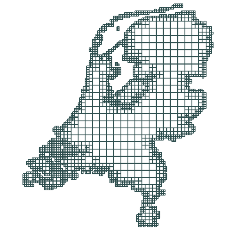
nlmod
Python package to build, run and visualize MODFLOW 6 groundwater models in the Netherlands.


https://github.com/astropenguin/xarray-custom
:zap: Data classes for custom xarray creation


nd
Framework for the analysis of n-dimensional, multivariate Earth Observation data
https://github.com/astropenguin/xarray-compare
:zap: xarray extension for data comparison

https://github.com/aazuspan/wxee
A Python interface between Earth Engine and xarray for processing time series data

https://github.com/climate-service-center/pyhomogenize
Homogenize netCDF files to CF standard

https://github.com/eserie/wax-ml
A Python library for machine-learning and feedback loops on streaming data
https://github.com/arcticsnow/climatepy
Collection of tools to perform timeseries analysis on climate data (Observation and Downscaled)


subarcticwildfireseverity
Code Supplement: Driver Analysis of Subarctic Wildfire Severity over a 35-year Period


climopy
🌍🌏🌎 A succinct toolset for analyzing climate data. This project is a work-in-progress.

egu_2021_lgeo_workshops
Workshop materials for EGU General Assembly 2021 sessions Spatio-temporal trend analysis of spatial climate data (temperature and rainfall) using Python Satellite image processing using Python programming


