
pDEMtools
pDEMtools: conveniently search, download, and process ArcticDEM and REMA products - Published in JOSS (2024)
py3dep
A part of HyRiver software stack for getting topography data within the US through 3D Elevation Program (3DEP)


ant_biogenic_structures
Habitat structural complexity of a biogenic reef in Ellis Fjord, Antarctica

lidar
lidar: A Python package for delineating nested surface depressions from digital elevation data - Published in JOSS (2021)

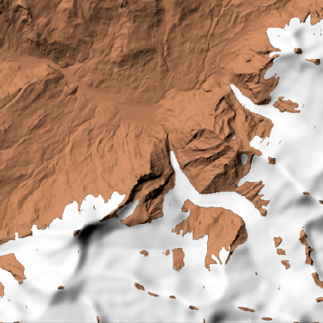
dea-intertidal
Generating intertidal elevation, exposure and extents from satellite earth observation data and ocean tide modelling

cudem
CUDEM contains scripts, programs and API for use in generating and processing Digital Elevation Models
glacier-flow-model
Modeling glaciers on a digital elevation model (DEM) based on mass balance and a modified D8 flow algorithm applied to ice.


org.tinfour:Tinfour
Delaunay and Constrained Delaunay Triangulations in Java, providing high-performance utilities for modeling surfaces with support for Lidar LAS files, Digital Elevation Models (DEM), finite element analysis, path planning, natural neighbor interpolation, and other applications of Triangulated Irregular Networks (TIN)

https://github.com/alexlipp/autosampler
An algorithm that subdivides a drainage basin into equal area sub-catchments, returning the associated sample localities.
https://github.com/alexlipp/unmixer
Unmixing the geochemistry of river sediments
RiverREM
Make river relative elevation models (REM) and REM visualizations from an input digital elevation model (DEM).
model
The Clay Foundation Model - An open source AI model and interface for Earth
deepbedmap
Going beyond BEDMAP2 using a super resolution deep neural network. Also a convenient flat file data repository for high resolution bed elevation datasets around Antarctica.
