
pointcloudset
pointcloudset: Efficient Analysis of Large Datasets of Point Clouds Recorded Over Time - Published in JOSS (2021)
lidR
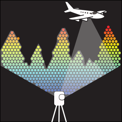
Airborne LiDAR data manipulation and visualisation for forestry application

laspy
Laspy is a pythonic interface for reading/modifying/creating .LAS LIDAR files matching specification 1.0-1.4.

3d-forest
Visualization, processing and analysis of Lidar point clouds, mainly focused on forest environment. New version of 3D Forest. Process files with terabytes of data. Edit new point attributes. Simple addition of new features by plugins.


geoslicer
Open source digital rocks software platform for micro-CT, CT, thin sections and borehole image analysis. Includes tools for: annotation, AI, HPC, porous media flow simulation, porosity analysis, permeability analysis and much more.