
PyCPD
PyCPD: Pure NumPy Implementation of the Coherent Point Drift Algorithm - Published in JOSS (2022)

pointcloudset
pointcloudset: Efficient Analysis of Large Datasets of Point Clouds Recorded Over Time - Published in JOSS (2021)

TUM Open Infra Platform
TUM Open Infra Platform: an open source package for simultaneous viewing and analysis of digital models in the civil engineering domain - Published in JOSS (2022)

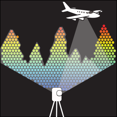
PyForestScan
PyForestScan: A Python library for calculating forest structural metrics from lidar point cloud data - Published in JOSS (2025)

abspy
abspy: A Python package for 3D adaptive binary space partitioning and modeling - Published in JOSS (2025)

CosmicProfiles
CosmicProfiles: A Python package for radial profiling of finitely sampled dark matter halos and galaxies - Published in JOSS (2023)

pyransac3d
A python tool for fitting primitives 3D shapes in point clouds using RANSAC algorithm


urban_road_filter
Real-time LIDAR-based Urban Road and Sidewalk detection for Autonomous Vehicles 🚗
polygnn
PolyGNN: Polyhedron-based graph neural network for 3D building reconstruction from point clouds [ISPRS 2024]
lidR
Airborne LiDAR data manipulation and visualisation for forestry application


pymccrgb
pymccrgb: Color- and curvature-based classification of multispectral point clouds in Python - Published in JOSS (2019)

mapmos
Building Volumetric Beliefs for Dynamic Environments Exploiting Map-Based Moving Object Segmentation (RAL 2023)

globalmatch
GlobalMatch: Registration of forest terrestrial point clouds by global matching of relative stem positions [ISPRS 2023]

itkwidgets
An elegant Python interface for visualization on the web platform to interactively generate insights into multidimensional images, point sets, and geometry.

https://github.com/fwilliams/point-cloud-utils
An easy-to-use Python library for processing and manipulating 3D point clouds and meshes.

laspy
Laspy is a pythonic interface for reading/modifying/creating .LAS LIDAR files matching specification 1.0-1.4.

pointnet-formulastudent-i2r
Code to support a study of the use of PointNet as classifier of cones in the perception system of a Formula Student car.

bird-cloud-gnn
This package generates graph representations from point cloud data and fits graph neural networks for classification problem


icpts
TypeScript implementation of iterative closest point (ICP) for point cloud registration

https://github.com/seung-lab/fastremap
Remap, mask, renumber, unique, and in-place transposition of 3D labeled images. Point cloud too.

https://github.com/arcticsnow/photo4d
Package to compute point cloud models using photogrammetry from time-lapse imagery

PointER
A LiDAR-Derived Point Cloud Dataset of One Million English Buildings Linked to Energy Characteristics

3d-forest
Visualization, processing and analysis of Lidar point clouds, mainly focused on forest environment. New version of 3D Forest. Process files with terabytes of data. Edit new point attributes. Simple addition of new features by plugins.
https://github.com/chenzhaiyu/pyhelios
Configurations of Helios++ for point cloud simulation on urban buildings

https://github.com/drprojects/point_geometric_features
Python wrapper around C++ utilities for computing neighbors and local geometric features of a point cloud

https://github.com/chris10m/ev2hands
3D Pose Estimation of Two Interacting Hands from a Monocular Event Camera [3DV'24]

https://github.com/asmaloney/libe57format
Library for reading & writing the E57 file format
superpoint_transformer
Official PyTorch implementation of Superpoint Transformer introduced in [ICCV'23] "Efficient 3D Semantic Segmentation with Superpoint Transformer" and SuperCluster introduced in [3DV'24 Oral] "Scalable 3D Panoptic Segmentation As Superpoint Graph Clustering"

capsicum_superellipsoid_detector
Estimating shapes and volumes of Capsicum fruits (bell pepper) by fitting superellipsoids to 3D mapping data for autonomous crop monitoring tasks for ROS1

lim3d
🔥(CVPR 2023) Less is More: Reducing Task and Model Complexity for 3D Point Cloud Semantic Segmentation

https://github.com/bencardoen/smlmtools.jl
Computational tools for single molecule localization / superresolution microscopy (point clouds).

PointClouds.jl
PointClouds.jl: Fast & flexible processing of lidar data - Published in JOSS (2025)
points2poly
Reconstructing compact building models from point clouds using deep implicit fields [ISPRS 2022]


ppc
Probabilistic Point Clouds - Code for simulation, training and evaluation of 3D object detection

Easy3D
Easy3D: a lightweight, easy-to-use, and efficient C++ library for processing and rendering 3D data - Published in JOSS (2021)
https://github.com/deeprank/ponder
PointNet for Deep Rank: protein-protein interaction scoring using neural networks

4dmos
Receding Moving Object Segmentation in 3D LiDAR Data Using Sparse 4D Convolutions (RAL 2022)
